

By CHRIS SPARGO 25 August 2017 A Scandinavian man who works on geographic information systems for software company CGI has released […]
By CHRIS SPARGO
25 August 2017
A Scandinavian man who works on geographic information systems for software company CGI has released a fascinating new map of North America.
Topi Tjukanov posted an image on his Twitter account Thursday which showed every single road in North America.
It is a transfixing creation, which Tjukanov described by simple writing: ‘All the roads and nothing but the roads.’
The roads are highlighted in a deep purple and show how remarkably dense some areas of the country are, with New England, New York and New Jersey all solidly purple from the numerous roadways, lanes, boulevards, streets and thruways running through the Northeast United States.

North Dakota is also a very deep purple as is the California coast while South Dakota, Nebraska, Idaho and Nevada have quite a bit of blank space.
There is also a giant white hole at the down in Florida due to the Everglades, with no roads crossing through the snake-infested and alligator-packed swamps in the southern section of the state.
The oceanside roadways in the continental United States as well as Mexico and Eastern Canada also give Tjukanov’s creation the same look as a border map.
Alaska disappears into the background however, and is the only section of the map that has no clear border due to how sparsely populated the state is, and the fact that some towns have just one or two roads.
The same is also true of the Yukon and Northwest Territories, Canada’s two northernmost provinces.
Mexico also has a surprising amount of white showing up on the map, while the island nations of Puerto Rico, Haiti, the Dominican Republic and Cuba appear to be packed with transportation routes.
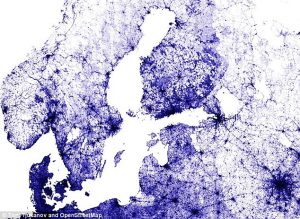
Even more remarkable is that he created it using Open Street Map, a program that collects data using a variety of resources such as aerial photography and manual surveys as well as volunteered geographic information to create maps which are then made available to the public at no cost.
CraigsList, FourSquare and Mapquest are among the major companies that utilize OSM.